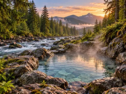
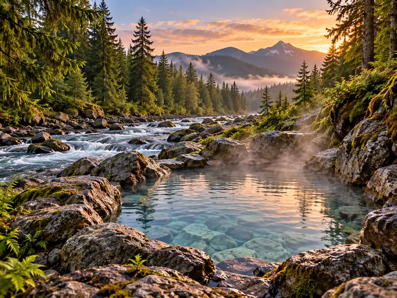
About Hot Springs Fork
Hot Springs Fork is on the map as a river in Clackamas County, about 25 miles from Estacada as the crow flies. We found no owner, land-manager or operator page for it, so we cannot say whether it is on private land, closed, or just a seep too small to sit in.
The closest place where soaking is documented is Bagby Hot Springs, about 6.3 miles away in a straight line, followed by Breitenbush Hot Springs (15 miles).
Key facts
- Type
- Hot spring, access unverified
- Area
- Clackamas County, Oregon · Portland & Mt. Hood
- Nearest town
- Estacada (about 25 miles straight-line)
- Coordinates
- 44.98523, -122.06684
Map: Hot Springs Fork and nearby
Loading map…
- Hot springs resort
- Natural hot spring
- Clothing-optional club
- Hot spring, access unverified
- Cold or mineral spring
Map data © OpenStreetMap contributors. Pins show the spring or the property, not the parking area.
Get directions · Big pin: Hot Springs Fork; small pins: other places within 45 miles.
Before you go
- Do not enter private land: look for a current public source (land manager or owner) before you go.
- If you know the current status of this spring, tell us and we will update the page.
Hot Springs Fork: questions
What is the closest hot spring to Hot Springs Fork?
Bagby Hot Springs is about 6.3 miles away as the crow flies. Road distance is longer.
Where to stay nearby
Lodging or camping listed by the operator, within 35 miles in a straight line.